
The ‘1 Nojor’ media platform is now live in beta, inviting users to explore and provide feedback as we continue to refine the experience.
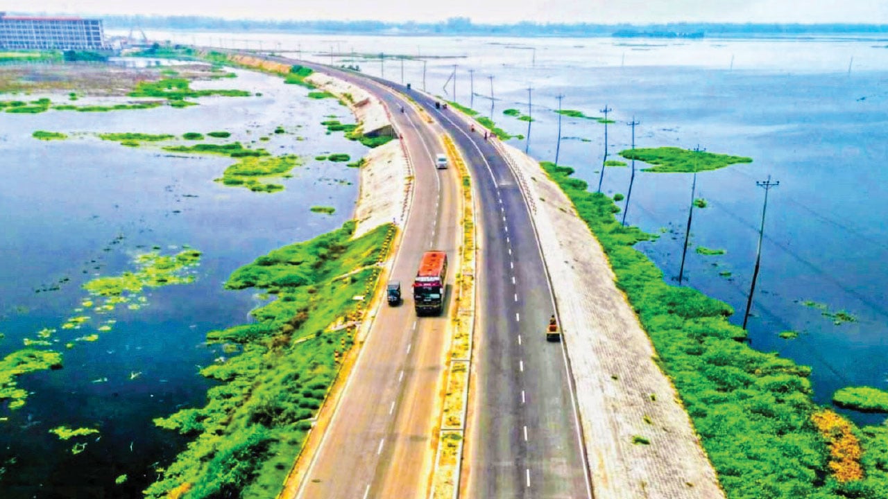
Chalan Beel, spanning 1,600 villages in 62 unions across 10 upazilas of Natore, Pabna and Sirajganj, is steadily shrinking because of unplanned development, according to the report published on July 31, 2026. Embankments, national highways, bridges, pond excavation and other infrastructure have reduced the wetland’s flow and depth. Its area, once more than 1,000 square kilometres, is reported at about 368 square kilometres during monsoon and 85 square kilometres in the dry season.
Many of Chalan Beel’s 47 small and large rivers have lost their natural flow because of siltation and navigability problems. Some 177,000 fishers were directly or indirectly linked to fishing in its rivers, canals and waters. Reduced water inflow and illegal China duari and badai nets have pushed native fish toward disappearance, prompting many fishers to change occupations and reducing dried-fish production.
The report says the Baghabari-Tarash flood-control embankment built in 1980 and the Hatikumrul-Banpara highway completed in 2001 obstructed water flow. Natore BADC Executive Engineer Sajjad Hossain cited climate change, untimely rainfall, siltation, reduced navigability, blocked canal mouths and unplanned infrastructure as contributing factors.

The ‘1 Nojor’ media platform is now live in beta, inviting users to explore and provide feedback as we continue to refine the experience.