The ‘1 Nojor’ media platform is now live in beta, inviting users to explore and provide feedback as we continue to refine the experience.
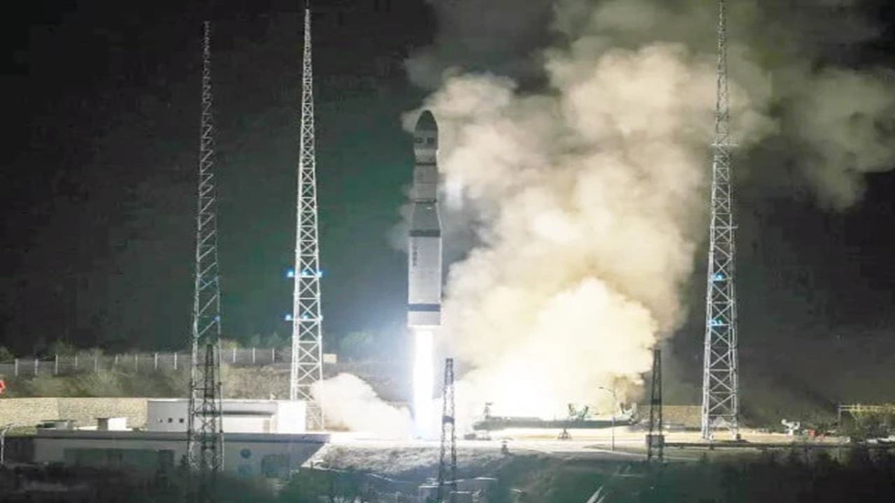
Pakistan has successfully launched a high-performance remote sensing imaging satellite named PRSC-EO3 from China’s Taiyuan Satellite Launch Center in Shanxi province. According to China’s state news agency Xinhua, the launch took place on Saturday night using a Long March-6 rocket at 8:15 p.m. local time. The satellite entered its designated orbit successfully, marking the 640th mission of China’s Long March rocket series.
Pakistan’s space agency SUPARCO stated that the satellite was developed with indigenous technology and represents a major advancement in the country’s space capabilities. The electro-optical satellite will be used for natural resource monitoring, disaster management, and environmental change analysis. It features multi-angle imaging, advanced energy storage, and AI-based data analysis systems for faster and more accurate information processing.
According to Pakistan’s Foreign Office, the satellite will enhance national remote sensing capacity and support socio-economic development. President Asif Ali Zardari called the launch a historic achievement and praised China’s cooperation, while Prime Minister Shehbaz Sharif congratulated SUPARCO scientists for strengthening national capability.
The ‘1 Nojor’ media platform is now live in beta, inviting users to explore and provide feedback as we continue to refine the experience.