
The ‘1 Nojor’ media platform is now live in beta, inviting users to explore and provide feedback as we continue to refine the experience.
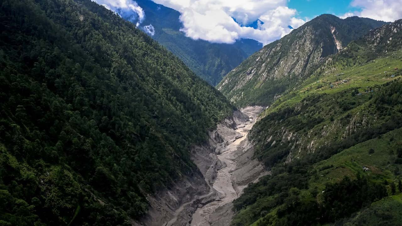
Geologists say recent devastating floods in Nepal and Tibet may have resulted from a combination of landslides and glacier collapses in high mountain areas. The resulting torrents of water and mud can descend so rapidly that they engulf buildings and infrastructure within seconds, leaving too little time to identify the danger and move residents to safety.
Conventional glacier-risk monitoring generally tracks water levels in specific glacier lakes, which form as melting water accumulates in depressions left by retreating glaciers. Professor Eran Hood of the University of Alaska said monitoring can use real-time video, laser water-level measurements and regular field observations. But experts say forecasting sudden mountain collapses requires dense, costly monitoring across vast and inaccessible terrain.
A 2020 report counted 2,070 glacier lakes in Nepal, including 21 classified as high risk. Nepal’s warning system mainly relies on river and lake gauges and may not detect rapidly developing surges. Experts recommend greater public awareness, controls on construction in high-risk flood zones, and clearly marked evacuation routes.

The ‘1 Nojor’ media platform is now live in beta, inviting users to explore and provide feedback as we continue to refine the experience.