The ‘1 Nojor’ media platform is now live in beta, inviting users to explore and provide feedback as we continue to refine the experience.
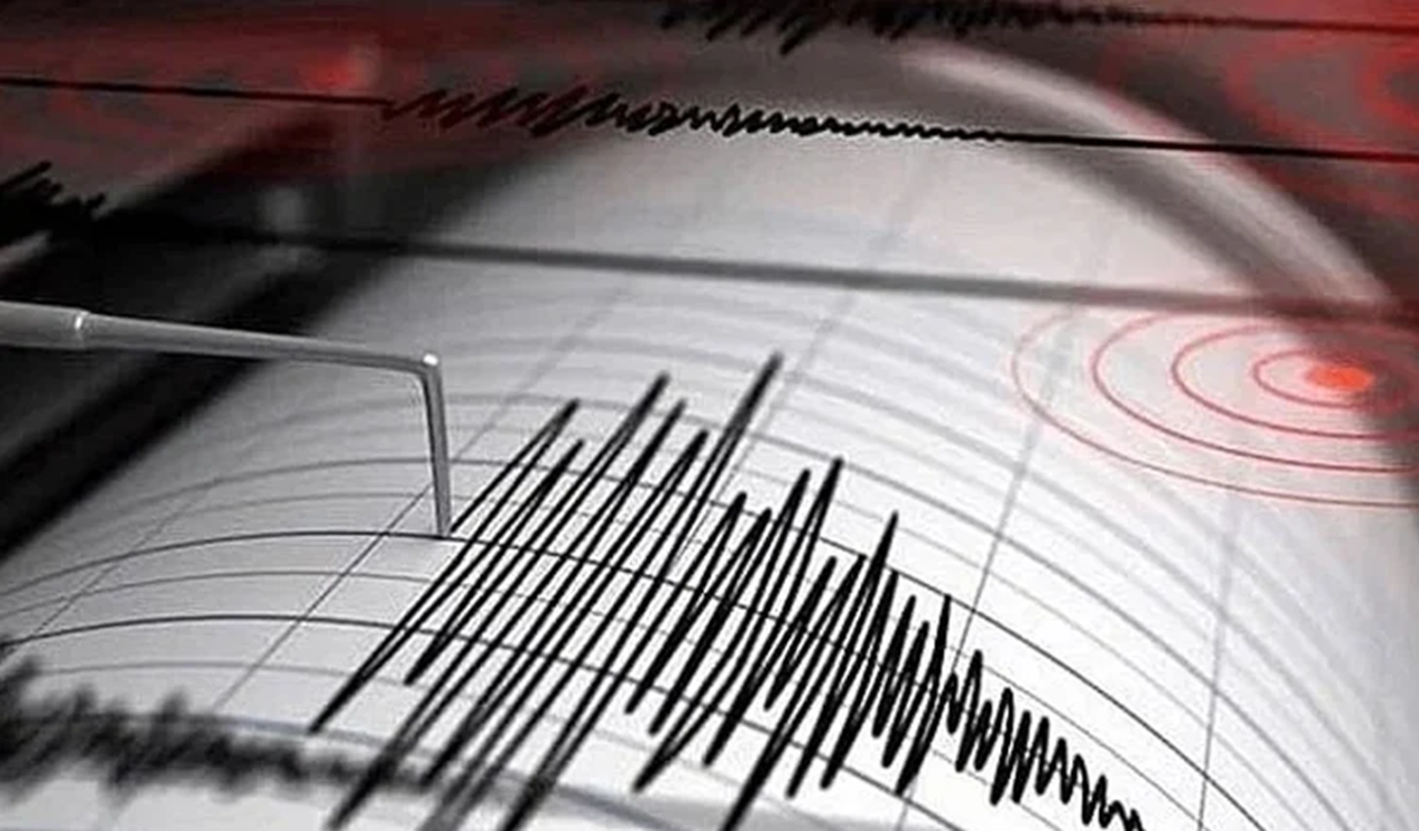
A 7.4 magnitude earthquake struck Indonesia’s North Maluku Sea region early Thursday, according to the US Geological Survey. The quake’s epicenter was located about 127 kilometers west-northwest of Ternate city at a depth of roughly 35 kilometers. Following the tremor, the US tsunami warning system issued alerts for possible waves within 1,000 kilometers of the epicenter, affecting coastal areas of Indonesia, the Philippines, and Malaysia.
Authorities warned that waves between 0.3 and 1 meter above normal tide levels could hit parts of Indonesia’s coast, while smaller waves under 30 centimeters were forecast for Guam, Japan, Malaysia, Papua New Guinea, the Philippines, and Taiwan. Japan’s meteorological agency said only minor sea-level changes were expected, and Australia’s weather bureau confirmed no tsunami threat to its mainland or islands.
An AFP journalist in Manado, North Sulawesi, reported that residents rushed outdoors in panic as the shaking lasted for a long time, though no major damage was observed. Indonesia, located on the Pacific “Ring of Fire,” frequently experiences earthquakes and volcanic eruptions.
The ‘1 Nojor’ media platform is now live in beta, inviting users to explore and provide feedback as we continue to refine the experience.